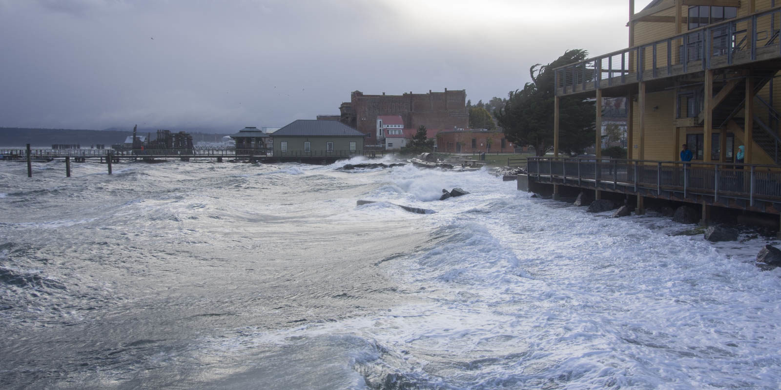
In this video, Ian Miller, Coastal Hazards Specialist, Washington Sea Grant, highlights unique findings of Local 20/20 volunteers monitoring King Tides. As an aide to visualize potential localized effects of Sea Level Rise, Washington Sea Grant archives shoreline photos taken by volunteers during predicted King Tide events. Supported by Local 20/20, a local group photo-documenting King Tides noticed water levels could be appreciably different from the predicted tide elevations and the level measured at the local tide gauge. With the guidance of Dr. Miller, the team was able to measure water levels at a selected site and collect concurrent weather data in an effort to quantify and explain these differences. This type of documentation is rare in Puget Sound and may lead to improvements in coastal flood mapping and prediction.
Categories: Climate Action, Local 20/20 General


